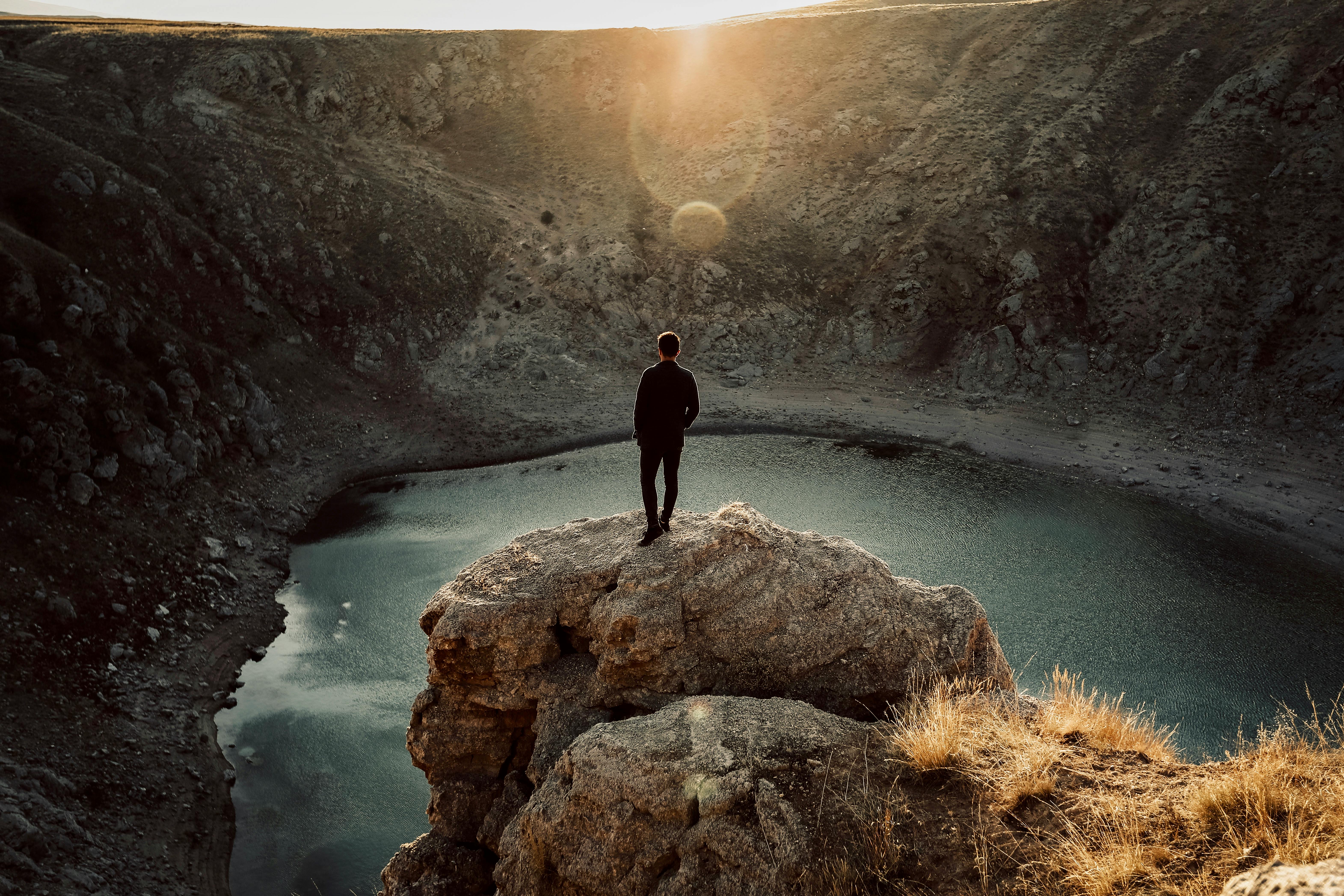
Mae Hong Son is located in the very remote and beautiful Northwest of Thailand. It can be reached from Chiang Mai from a northern route through Pai or a southern route through Mae Sariang. Both routes provide stunning scenery and the opportunity to see parts of Burma, Shan Tows, mountain people, many natural features such as waterfalls, hot springs, caves, and regional agriculture. Often called the Mae Hong Son loop, the route offers a great way to see some of Thailand’s local cultures amidst the spectacular scenery of the north.
South Route
The southern route is approximately 360 km long and passes through the highest mountain of Doi Inthanon Thailand. There are three very picturesque waterfalls in the national park at Mae Klang, Vachiratarn and Mae Yai. Traveling further west through Hot, the route takes on a more adventurous and rugged feel with twisting curves, magnificent scenery and waterfalls as it passes through Bo Luang, Kong Loi, Mae Ho and Mae Sariang. From here, the route heads north to Mae La Noi, passing through narrow valleys with steep slopes, eventually reaching Mae Hong Son.
mae hong son
The town is well surrounded by mountains and has a cool climate. It was originally founded in 1831 as an elephant training camp for real elephants captured from neighboring forests. For most of its history, the city was difficult to access and isolated from the other cities in northern Thailand. Located on the western border between Thailand and Burma, it has always experienced the cultures of both countries. Much of the city’s architecture has a strong Burmese influence, especially Wat Chong Kham. There is a small monument to Phraya Sihonatracta, the first governor of Mae Hong Son, to the south of the city. However, most images of the city show the chedis and the lake at Wat Chong Kham and Chong Klang. The lake was originally used in the 19th century as a bathing pool for royal elephants. On the mountain overlooking the city is Wat Phra That Doi Kong Mu, built in the 19th century. There are great views from here over the surrounding valley. Other temples in the region include Wat Kam Ko, Wat Hua Wieng, which houses a large Burmese-style Buddha image, and Wat Phra Non, which has a 12m-long reclining Buddha image.
Around Mae Hong Son
Approximately 10 km. South of the city are the Pha Bong hot springs with mineral water baths. Twenty kilometers to the north is the Thom Pla forest park with caves and ponds. Further north, near Pang Mapha, is Tham Lot Forest Park, where a small stream runs through a cave under the mountain and can be explored by raft. However, the best rafting is along the Mae Pai River from October to March.
north road
Leaving Mae Hong Son, the northern route rises very steeply and passes Mae Surin National Park and the beautiful 100m high Mae Surin waterfall. From here the highway heads through winding river valleys and steep gorges to Pai and back to Chiang Mai.